I was stunned when I saw this amazing sketch of famous "Nabatala Prasada" or "Nine storeyed Building" of Barabati Fort by a heritage enthusiast and artist from Cuttack named Hitesh Seth. Hitesh Ji had attempted this sketch of Barabati Fort based on the accounts of "Ain-i-Akbari" composed by Abul Fazl, the Grand vizier of Emperor Akbar.
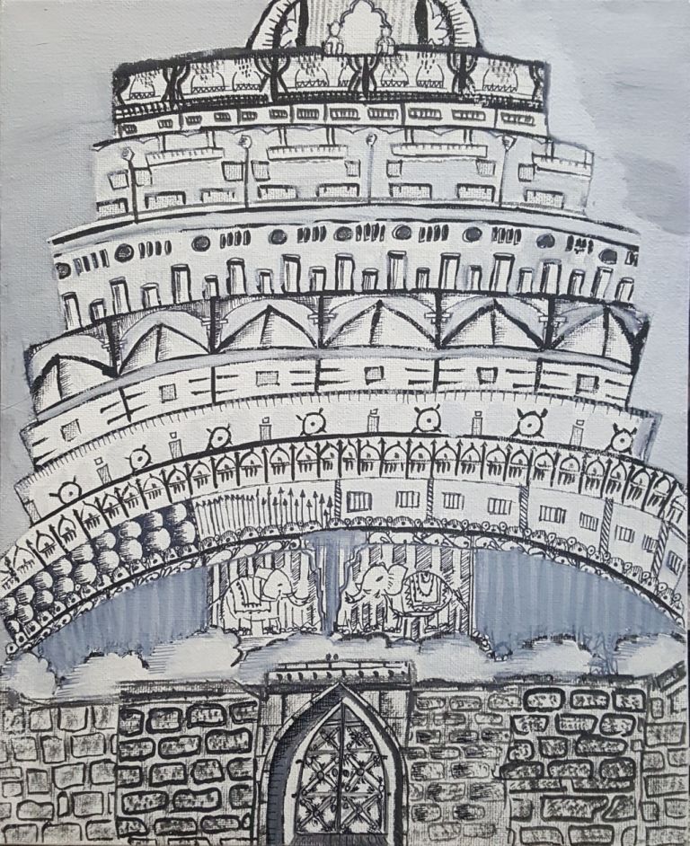
Although, I am a local to the city of Cuttack and have been to Barabati countless time, I never imagined this ruined fort with such a glorious shape at its past. This sketch thrilled me to jump deep into history of this magnificent fort. I referred numerous sources to understand Barabati and then documented my observations as below. The reference books those I followed are listed in the ending section of this post.
The construction of Barabati fort was a rarity itself being situated in a plain land having no hills or hill lock anywhere close to it. At the same time it proves the supremacy of Great Kalingan architects capable of creating many other incredible constructions in the medieval era
The precise construction date of this Fort dates back to Eastern Ganga period of 13th century when the powerful Monarch Ananga Bhima Deva had built this to ensure safety from the repeated Afghan threats coming from North region of the county. Centuries to follow, the Barabati becomes the capital for the Gangas and then the following Suryavamsi Gajapatis, The Bhois, The Chalukyas, The Moghuls, The Marathas and lastly the Britishers.
Although, many rulers ruled over this historic place, it was King Mukunda Deva during whose reigns Barabati was possibly prospering at its best. Abul Fazl, the famous historian of Emperor Akbar's court had visited Orissa in the late part of 16th century and mentions about the fort & the Nine Storeyed building in his work Ain-i-Akbari. He states, Kataka, the city has a stone fort situated at the bifurcation of two rivers, Mahanadi and Kathajodi. Raja Mukunda Deva had built a palace with nine storeyed, the first storey was used as elephants and stables, second for artillery and guards, third for patrols and gate keepers, fourth one was acting as workshop, fifth as kitchen, sixth was used for public reception, seventh was private apartment, the eighth was used by ladies and ninth one was the Chamber of governor/king.
It is also said that Kalapahada the general of Sulaiman Khan Karrani of Bengal after invading Barabati fort didn't damage the Nabatala Prasada in exchange of huge financial property from the wife of King Mukunda Deva. English traveller William Bruton who visited Barabati with Ralph Cartwright in 1633 called the Fort as Malcandy (they called it Malcandy as it was greatly influenced with the works of King Mukunda Deva) and got amazed with the magnificence and pomp of the stately court. He states fifty years before the coming of the English, King Mukund Deo the last Hindu ruler of Orissa had built within a castle of grey granite with nine lofty courts, but he lost his kingdom to the Moslems (Muslims).
In 1766, Thomas Motte while travelling to Sambalpur through Mahanadi had seen the fort from opposite side of the river and stated "The great number of mosques with which it adorned and the regular appearance of citadel strongly resembling the west side of Windsor Castle unite to make the perspective view of the place extremely grand." He further states that the citadel is called Barabati as it is said to contain 12 battees or 240 begghas of land.
A Sterling who spent a short time in Cuttack in 1818 also had given some details about Barabati. As per him, Barabati's square shaping likely to represent a Hindu origin. Either the Muslim or Maratha Governor further added a round bastion at the northwest angle and also constructed the Arch shaped Gateway in the eastern end of the fort. The fort had stone-built double walls and the inner wall used to enclose a rectangular area measuring 2150 by 1800 feet.
A noble ditch faced with masonry was surrounding the whole measuring in the broadest part two hundred and twenty feet across. The fort was occupied by the British forces in 1803 from the Marathas. Their Public works department pulled down all the glorious buildings present from very early period and used their stones for the construction works of roads, medicals, railway stations, light houses, bridges etc.
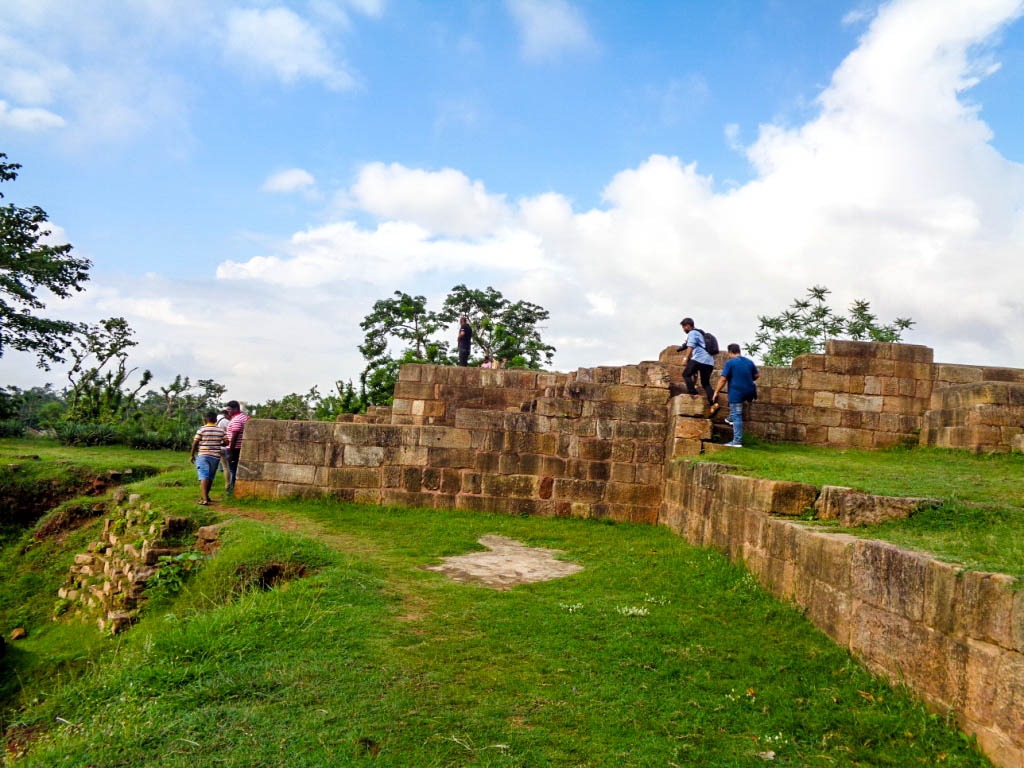
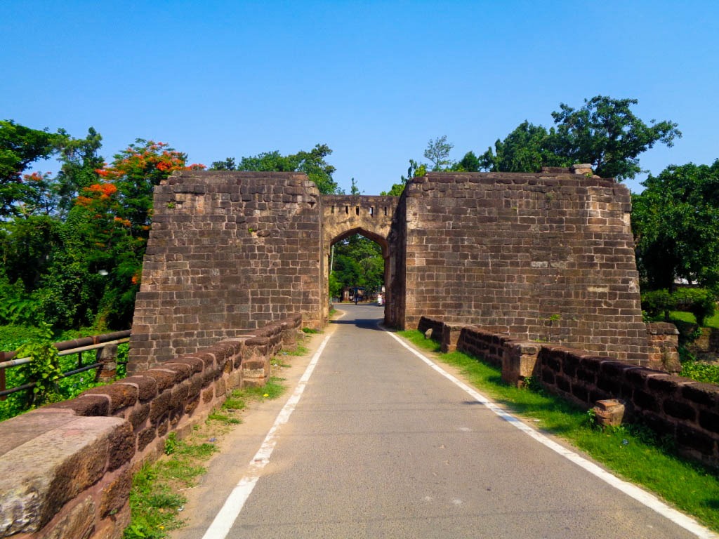
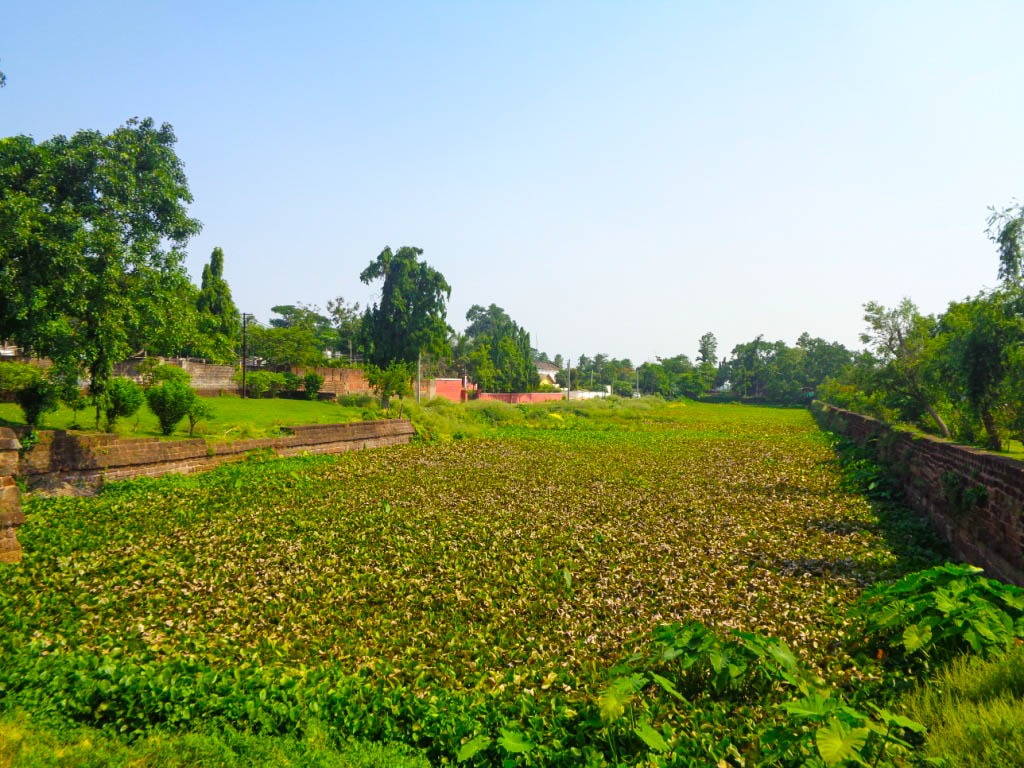
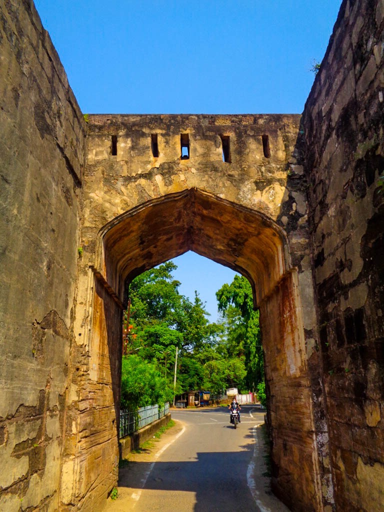
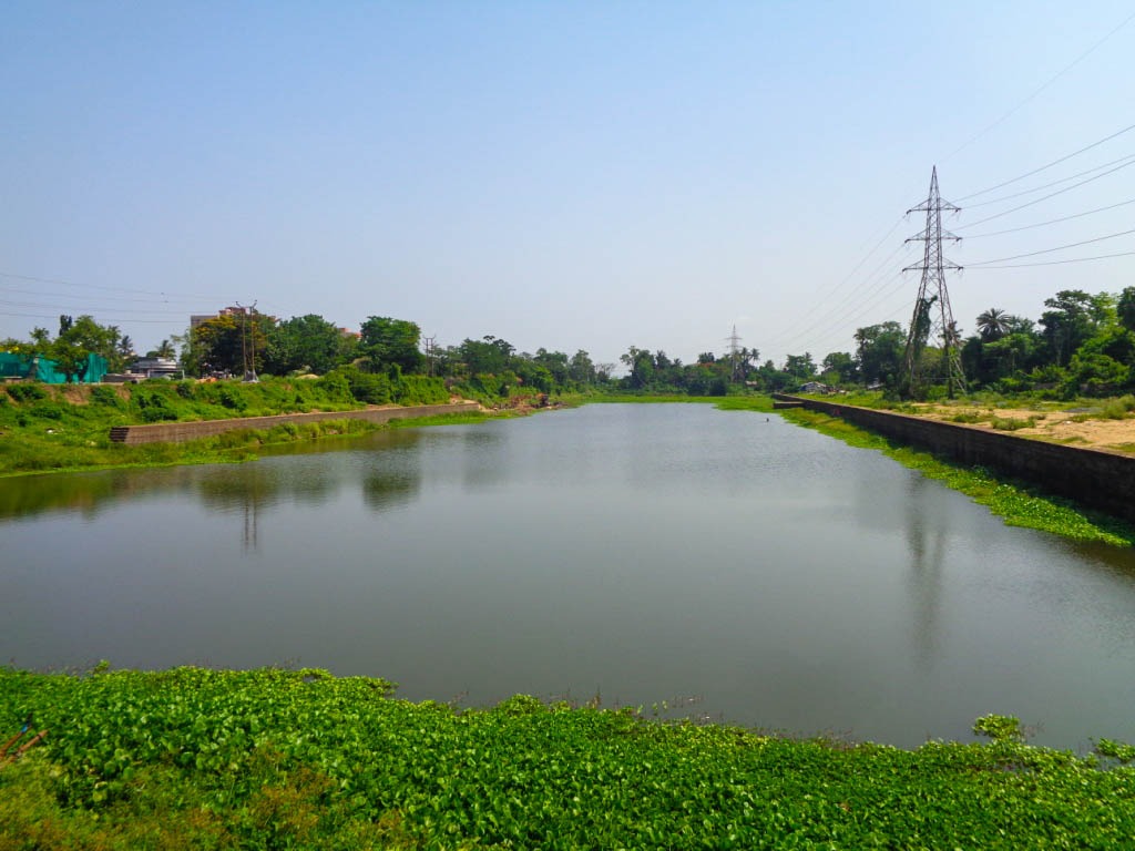
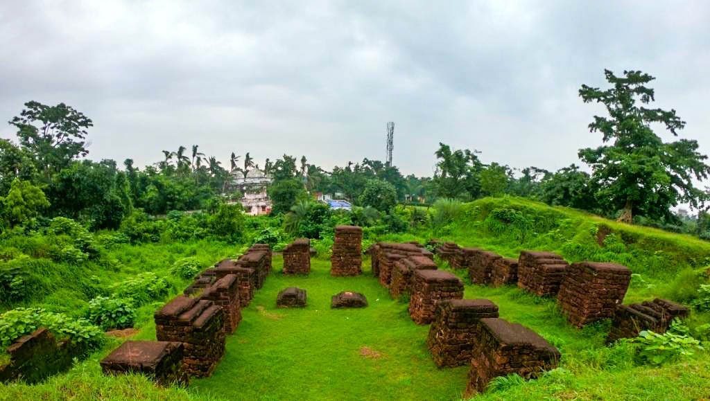
Present-day Fort has no notable earlier remains apart from the massive heap of soil believed to be the spot where the nine-storeyed palace once situated, a huge arch-shaped gate-way in the eastern end of the fort and broad moat around the fort called as (Gada Khai). The moat around the fort is mostly under pisciculture currently. On the eastern and southern side of the fort some stone facings are still found. The average wide of the moat is 100 feet having deepness of close to 10 feet. The arch-shaped gate-way has an opening close to 10 feet and a height of 20 feet.
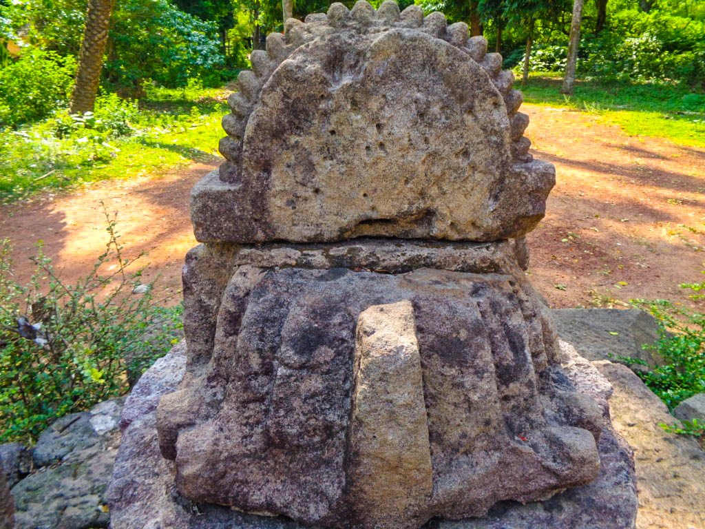
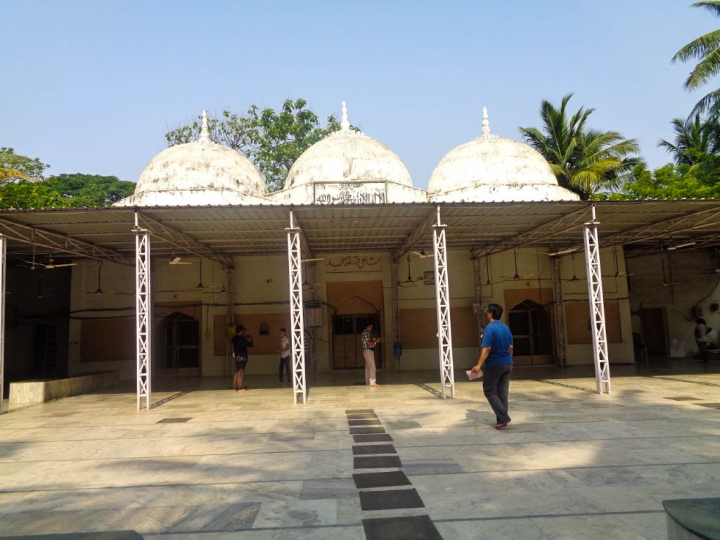
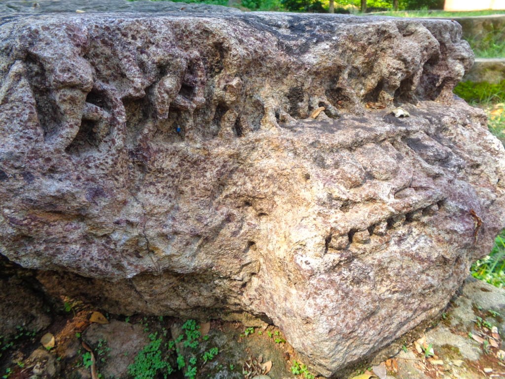
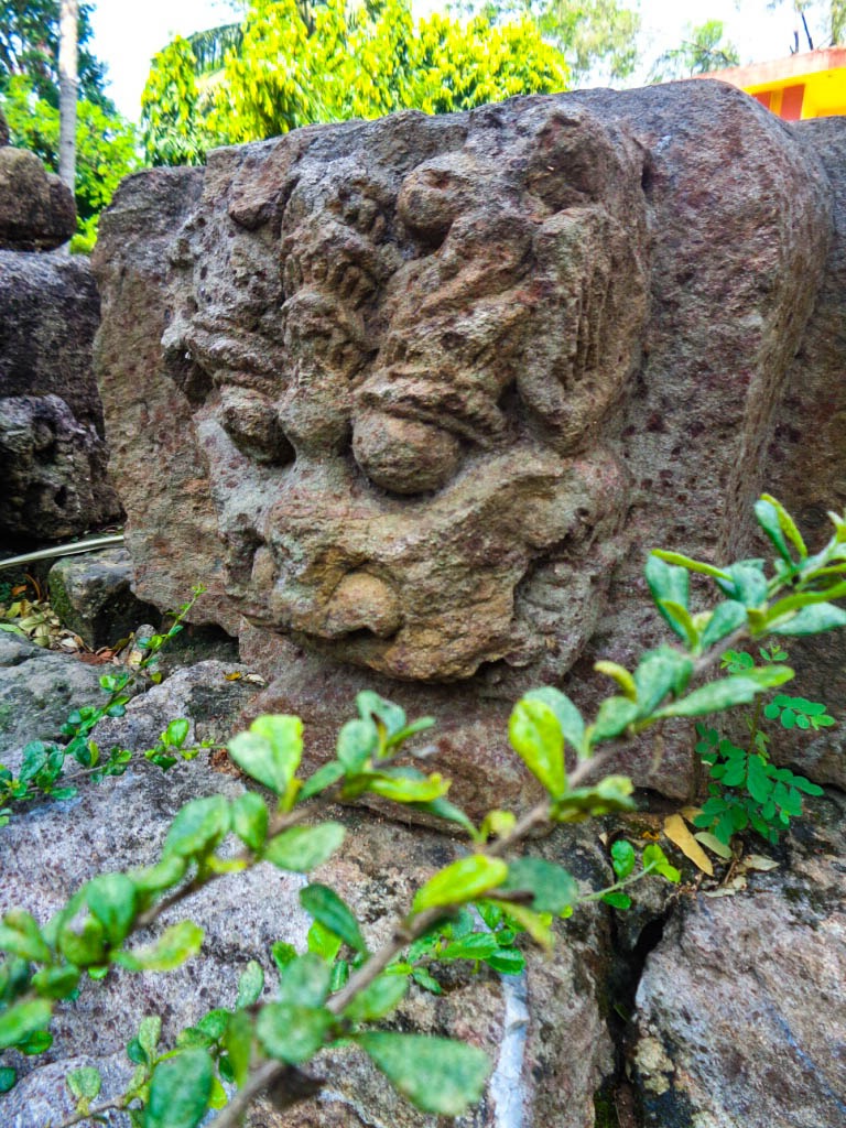
Barabati today is an identified monument both by State Archaeology Department and Department of Odisha Tourism. An excavation by ASI in the year 1989 resulted in finding many ancient artifacts from the fort along with loose carved stone blocks believed to be that of Purushottama temple built by Ganga Monarch Ananga Bhima Deva.
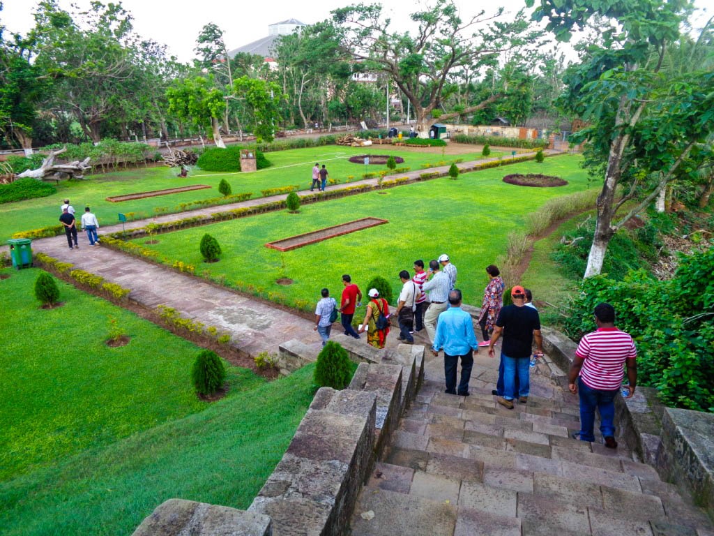
The state Govt. has given a beautiful shape by developing a garden at the base end of the fort. It is visited by many tourists and visitors in regular basis. State Govt has also planning to give the moat new looks by removing the pisciculture still present there. Barabati is a close chapter with the cruel run of time, however, the legends of Barabati still thrills Odia people with its glorious past.
Reference Books
"Orissa" by Andrew Sterling
"Barabati Durga" by Pandit Krupasindhu Mishra
"Utkala Itihasa" by Pandit Krupasindhu Mishra
"History of Orissa" by KC Panigrahi
"Archaeology in Orissa" by RP Mohapatra
"Utkala Itihasa ra Eka Agyanta Addhaya" by Chakradhara Mohapatra
By Deepak Kumar Nayak
The soul food of Odisha
19 Mar 2024
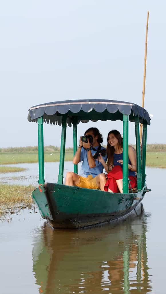
CHILIKA ODYSSEY : EXPLORING THE RICH AVIAN ...
14 Feb 2024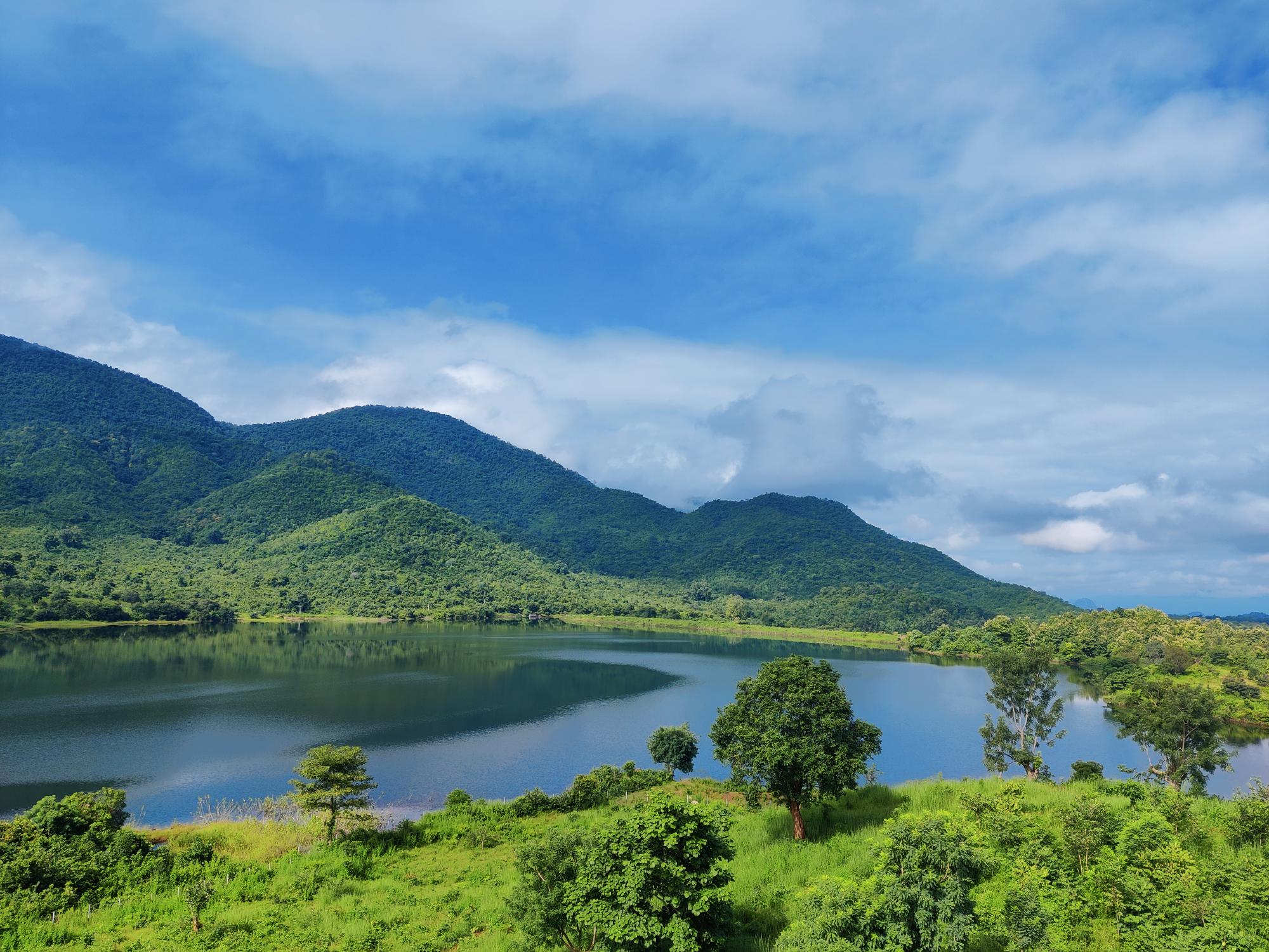
RABANDHARA ECO TOURISM
08 May 2023
Filming vivid colours of Bhubaneswar with ...
13 Apr 2023
Spellbound Odisha a picture perfect ...
03 Feb 2023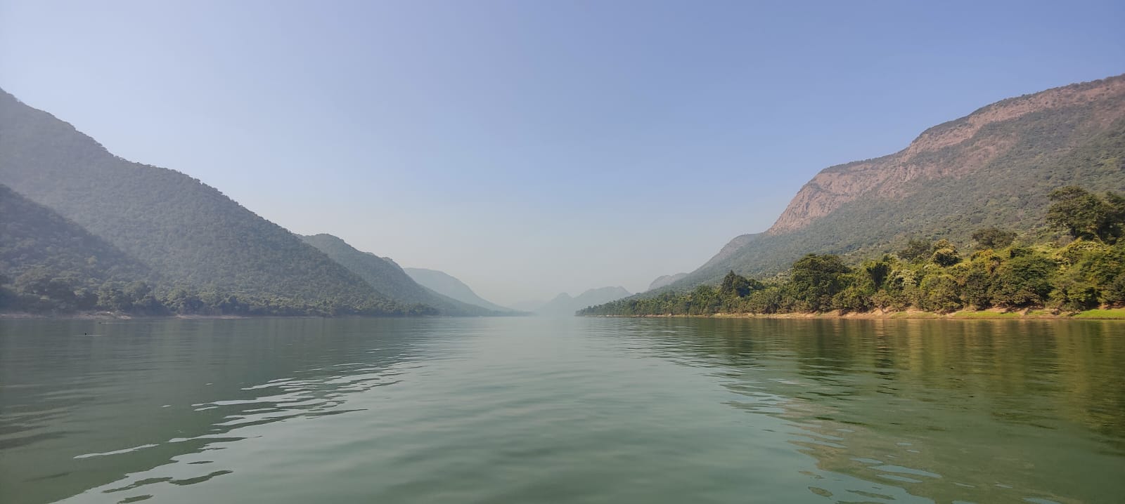
Satkosia a Nature’s Treasure Trove
03 Feb 2023
Odisha Wildlife in 4K
02 Jan 2023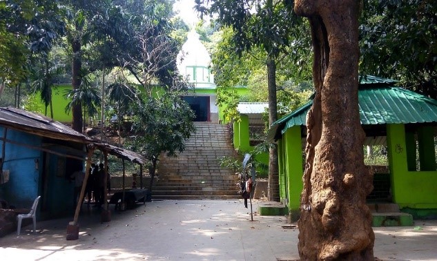
SAPTASAJYA-A Heavenly Tourist Destination
10 Oct 2022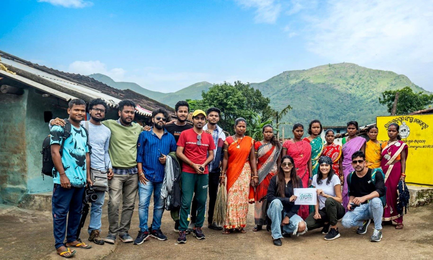
ODISHA BY ROAD 3.0-BEHIND THE SCENES
10 Oct 2022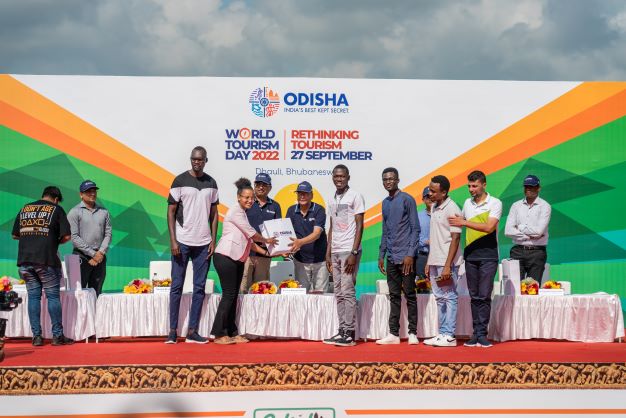
My experiences on World Tourism Day
10 Oct 2022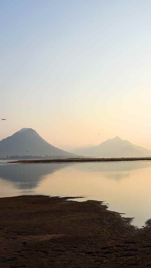


Comments